

Collins Maps
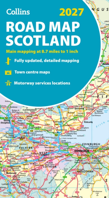
Collins Road Map of Scotland 2027 (Folded map) : Clear, Easy-to-Read Mapping
Collins Road Map of Scotland 2027 (Folded map) : Clear, Easy-to-Read Mapping
Couldn't load pickup availability
Author: Collins Maps
Scotland
Published on 12 March 2026 by HarperCollins Publishers (Collins) in the United Kingdom as part of 'the Collins Road Atlas' series.
Other | 2 pages
132 x 240 x 43mm | 144g
Explore Scotland with easy-to-read mapping from Collins.
Full-colour map of Scotland at 8.7 miles to 1 inch, with clear road network and administrative areas shown in colour. The map covers the whole of Scotland and part of Northern England conveniently on one side, and is ideal for reference or route planning.
The map shows the road network in detail for easy route planning and has easily identifiable local council areas and boundaries.
The main features of this road map are:
Fully updatedAdministrative areas shown in colourClear, detailed road network and road distancesTown and city names, rivers and canals are clearly shown7 city/town centre street plans showing places of interestIndex to place namesMileage chartCar ferry routesKey in English, French and German